Hiking Mount Price
Round Trip: 28 km
Elevation Gain: 1,600 m
Difficulty Level: Hard
Summary:
Mount Price is located in Garibaldi Provincial Park, British Columbia, Canada. The first half of the Mount Price Trail shares the same trail as the one leading to Garibaldi Lake. The trails begins at the Rubble Creek Trailhead. The hike to Garibaldi can be hard for hikers who are not hiking regularly because it has a lot of switch-backs because of high elevation gain. After reaching Garibaldi Lake, you continue along the Mount Price Trail. The Mount Price trailhead is located at the Garibaldi Lake pier, near the ranger station.
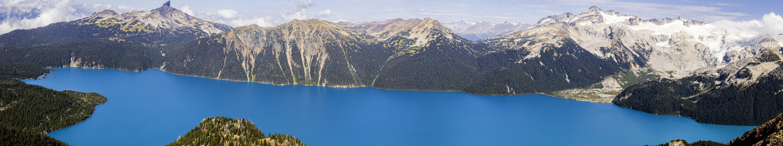
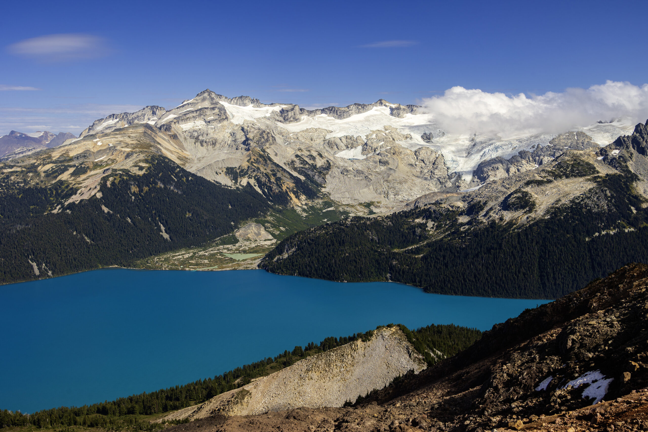
Mount Price hiking trail is not that technical. It’s just LOOOONG and has high elevation gain, and the last 2 km is slippery with dust and small rocks. Views on top are amazing. The most outstanding view features Garibaldi Lake set against the backdrop of Black Tusk. Water source at a couple lakes before Garibaldi Lake, and of course the lake itself. If you aren’t comfortable drinking water directly from the lakes (and I strongly suggest NOT to drink the water directly from the lake), consider bringing a filter.
The trail sees relatively few hikers because most hikers stop at the lake. As of that, some places on the trail are overgrown with vegetation. While trail markers are abundant for the most part, the dense vegetation occasionally makes it difficult to spot them. Therefore offline map is a must. Offline map is also useful when you are hopping across a few boulder fields. While boulder fields lack trail markers, some cairns are present. The last 2 km leading up to the peak can be arduous, both during ascent and descent. Once again, an offline map comes in handy, as do hiking poles, since this segment is slippery due to dust and small rocks.
Did I mention the views on top are amazing? They are better than seeing the lake at the lake shore. See my photos below.
After soaking in the beautiful views at the top, you follow the same trail back to the parking lot. The downside of this hike is that the long return can feel quite boring.


2 thoughts on “Mount Price”
Comments are closed.