Matier Glacier via Joffre Lakes
Length: 12.67 km
Elevation Gain: 743 m
Difficulty Level: Hard (trailhead to upper lake and camp site is intermediate level, camp site to the glacier is hard due to short distant but super steep ascent and a few boulder fields.)
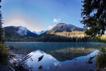
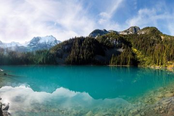
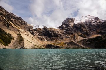
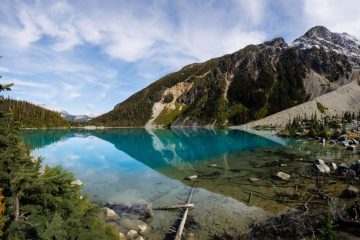
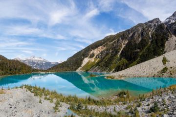
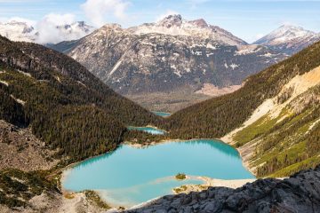
Joffre Lakes and Matier Glacier are near Pemberton, British Columbia, Canada. Matier Glacier is the main glacier that feeds into Joffre Lakes. When you sit on the beach of the upper lake, you will see the glacier. The trailhead is at least a two-and-a-half-hour drive from Vancouver. In the summer months, you will need day passes which can be obtained from BC Parks.
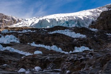
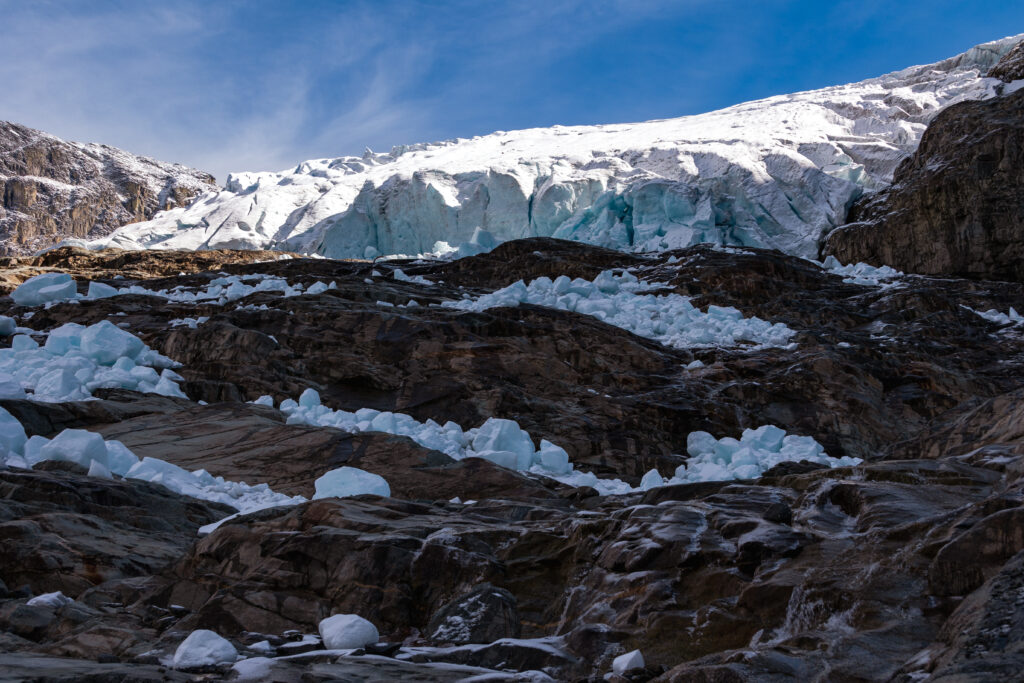
To get to the glacier, first you will hike on the Joffre Lakes trail, which is a well maintained and easily followed trail, to the upper lake and then to the camp site. Trail markers between the camp site and the glacier are almost non-existent for obvious reasons, rocks and boulders all the way. At the camp site, if you look up, you will see a ridge stacked with boulders and rocks. Hike up the ridge. After 1 km and about 350 m elevation gain, you will hit a rock wall. Turn left at this point, and walk toward the glacier.
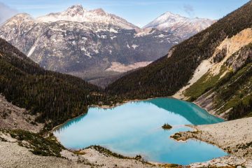
Other than the steep ascent from the camp site to the glacier, the boulder fields may also slow you down. At any given time, you shouldn’t need your hands to climb. Maybe in one or two occasions you might need to lift yourself a couple of meters, even that you may also be able to walk around those points. There is also a lot of water splashing near the glacier, therefore it will be very slippery during a cold day. On the top, other than you get close to the glacier, you can also see all three Joffre Lakes (Lower Lake, Middle Lake and Upper Lake) at the same time.
Water sources are abundant along the trail. As a rule of thumb, do not drink water from a glacier lake without filtering.
To follow my route, go here: Matier Glacier via Joffre Lakes
A video of Joffre Lakes and Matier Glacier

