Slhanay Hiking
Distance: 7 km
Elevation Gain: 640 m
Difficulty Level: Intermediate
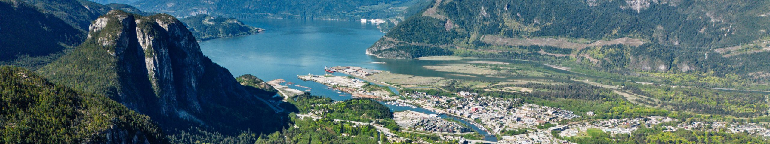
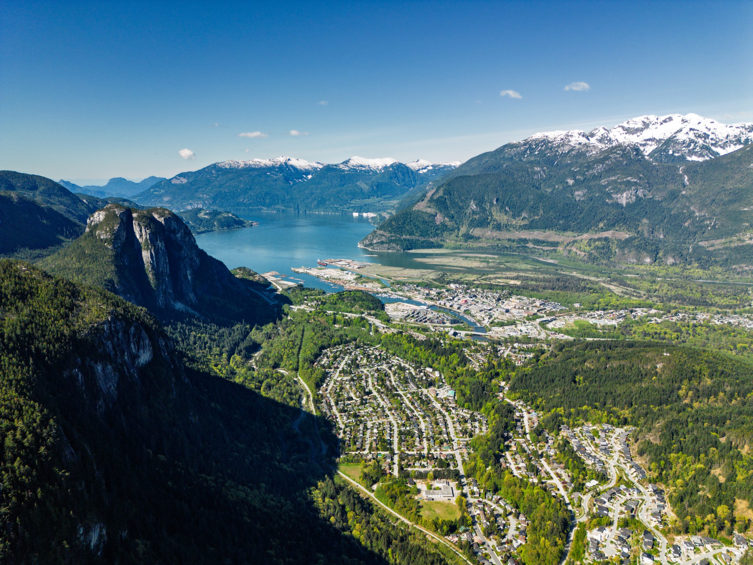
Slhanay Peak is in Squamish, British Columbia. One of the main attractions of hiking Slhanay Peak is the chance to see the uber-popular Stawamus Chief (The Chief) up close and in person. The Slhanay Trail also has far fewer people compared with the Chief Trail. The trailhead starts at Mamquam River Forest Service Road, a short distance from the Highway 99 exit.
It is highly recommended to bring an offline map for this trail. There are many intersecting trails and splits in the area, and trail markers are sparse. Some viewpoints require short detours from the main trail, but these side paths are unmarked.
There are no technical sections on this trail. You are in the shade all the time until you reach the peak or at a lookout. Throughout the route, you’ll encounter boulder fields and many tree roots. The first kilometer or so is very steep, but after reaching Tony’s Lookout, the grade becomes more moderate. At Tony’s Lookout, there is a bench where you can sit and enjoy beautiful views of Stawamus Chief, Howe Sound, and the city of Squamish.
From the summit of Slhanay, you can enjoy those same views, along with Mount Garibaldi and other surrounding peaks. Views on the peak are almost 360 degree. There are a few angles that are blocked by tall trees.
There are two loops on this trail that together form a figure eight. You can hike either loop clockwise or counterclockwise, or choose an out-and-back option—especially for the second loop to Slhanay Peak. Doing the second loop as an out-and-back in the clockwise direction saves both distance and elevation gain. In comparison, the counterclockwise option for the second loop is longer and involves more time walking through the forest.


