Zupjok, Llama, and Alpaca peaks
Length: 20 km
Elevation Gain: 1,300 m
Difficulty Level: Hard
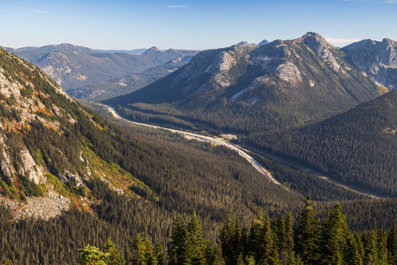
The trailhead for Zupjok, Llama, and Alpaca Peaks is at the Coquihalla Summit Recreation Area. There are several good hikes in this area, including Iago Peak and Flatiron Peak.
If there is one trail where you absolutely need an offline map, this is the one. Trail markers are seriously lacking, and there are several places where it isn’t obvious which way to go. The trail is also less traveled, so some sections are overgrown. There is quite a bit of boulder hopping, especially during the second half of the hike.
At around 3 km, there is a split with no sign whatsoever. Without a map, you could easily end up heading toward the wrong peak. Take the right-hand path at this split.
At 3.8 km, there is another split. One trail goes toward Iago Peak, while the other goes to Zupjok, Llama, and Alpaca Peaks. From this point, the trail gets very steep. There are also a few downed trees along the trail.
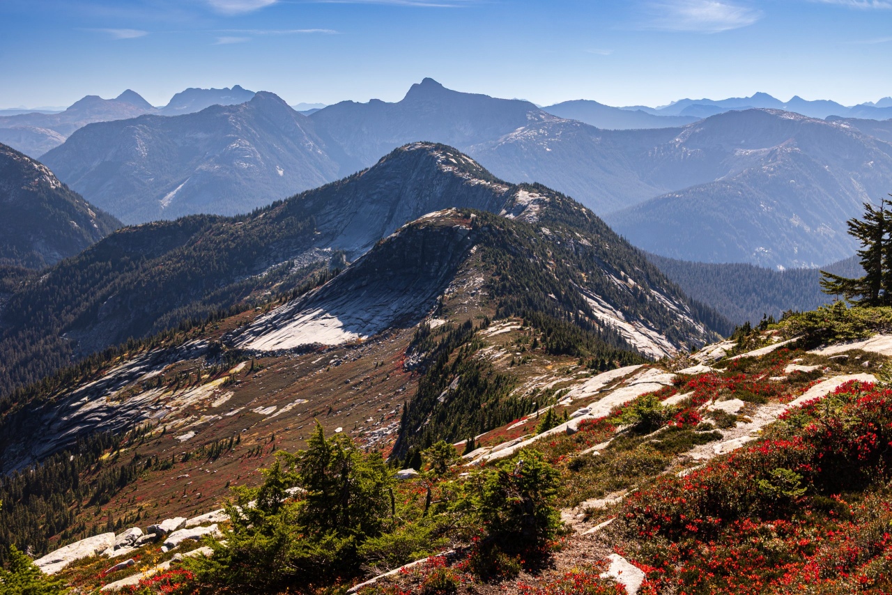
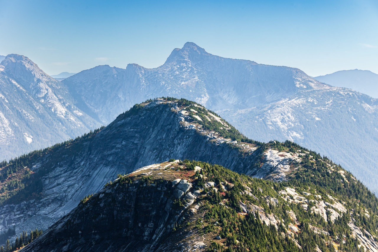
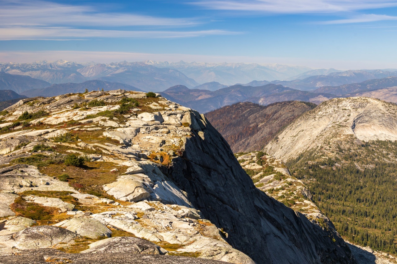
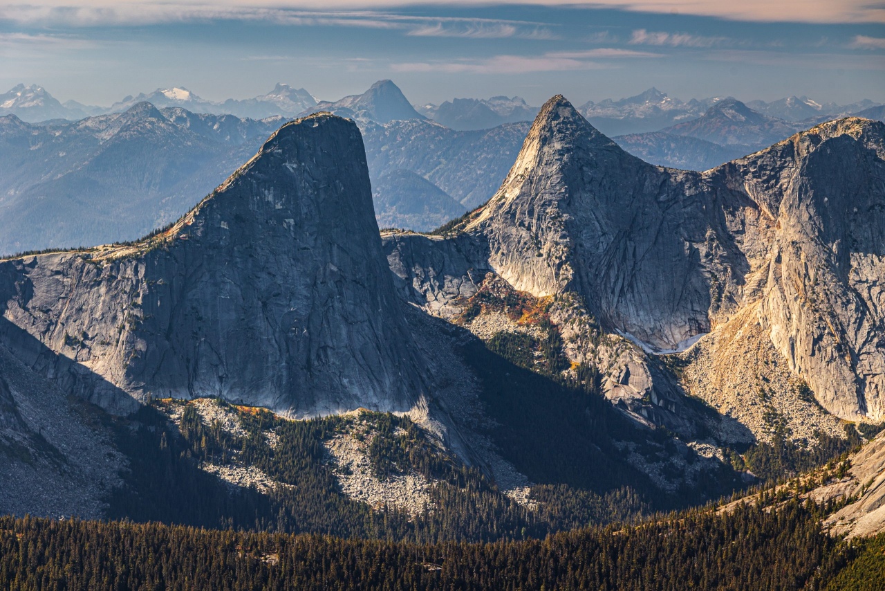
At 5.8 km, you arrive at the first peak of the hike, Zupjok Peak. This is where the views really open up, and they stay impressive all the way to Alpaca Peak. You might be tempted to linger here and enjoy the views, but remember—you are only halfway there, and you still have two peaks to go.
To get to the next peak, you have to do what hikers know all too well: descend into a valley and then climb back up to the next peak. You get to repeat this a few times on this hike. And, of course, whatever goes down must eventually come back up!
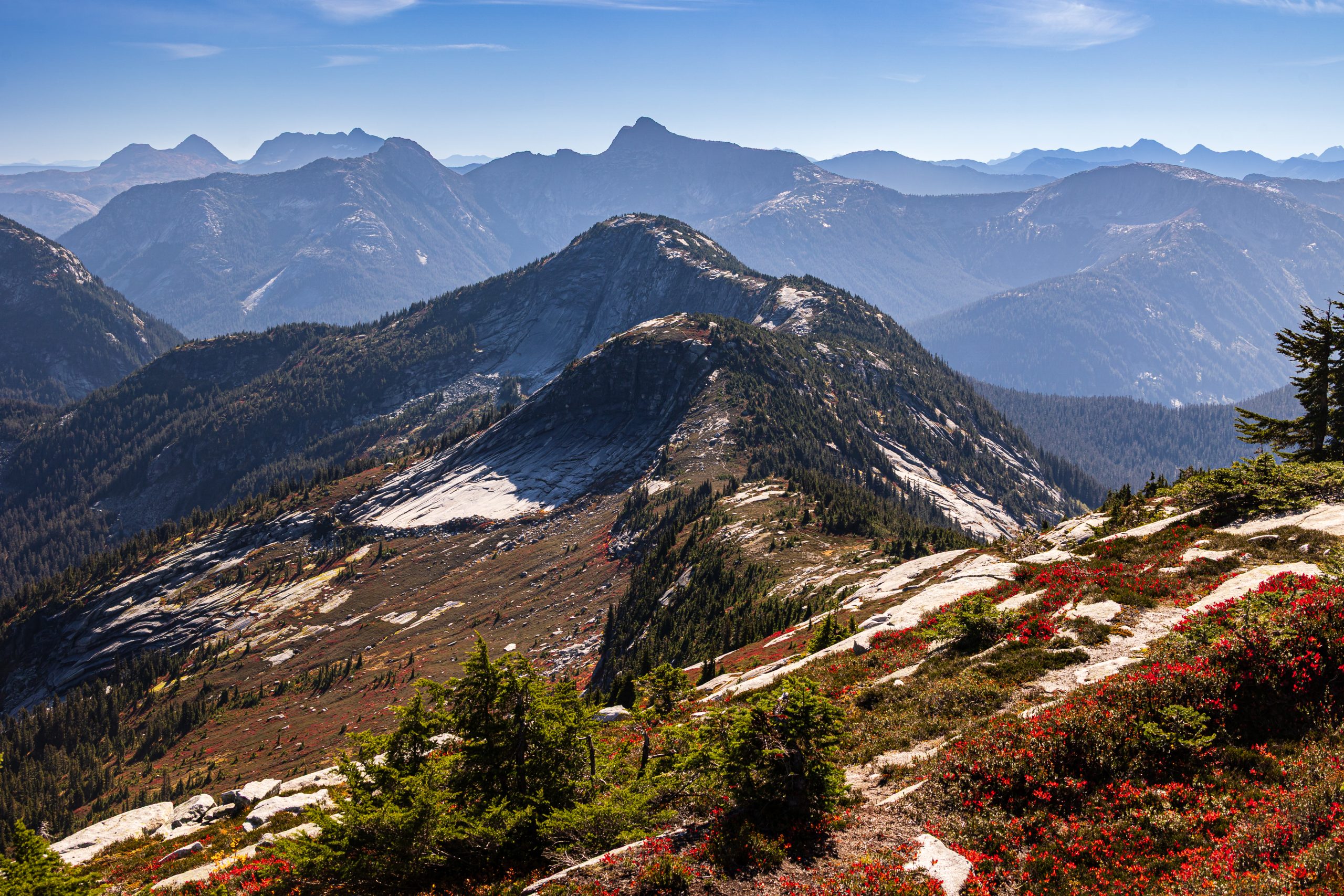
The good thing is that from Zupjok Peak to Alpaca Peak, you are more or less hiking along a ridge. There is almost no shade on this section, so bring sun protection if you are hiking on a sunny day. A hat, sunscreen, and plenty of water are a good idea.
Between Zupjok Peak and Llama Peak, there is a lot of boulder hopping. I wouldn’t call it scrambling, but you will need to use your hands from time to time to get up or down some of the rocks.
Between Llama and Alpaca Peaks, there are several tarns, some of which are even big enough to call ponds. You can use them as water sources if you bring a proper water filter or purification system.
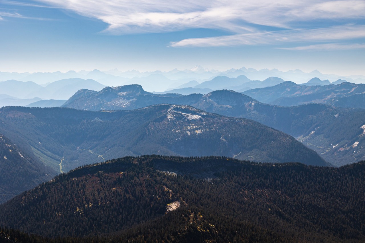
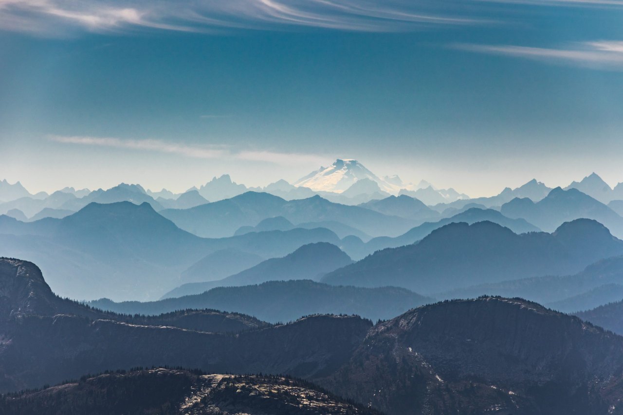
Finally, you arrive at Alpaca Peak, the highest peak on this hike. The views are incredible, with a 360-degree panorama as far as the eye can see. On the day I did this hike, I could even see Mount Baker from Alpaca Peak.
After you’ve had enough of the views, food, and rest, it’s time to retrace your steps back to the parking lot. Remember when I mentioned all those trips up and down between the peaks? Yes, you have to do the same thing in reverse. Those descents on the way in become climbs on the way back.
By the time you reach the parking lot, you’ll definitely know you’ve done a hike!
It’s a challenging trail, but the views are worth the effort. Just make sure you are prepared for the steep sections, boulder hopping, lack of shade, overgrown sections, and, most importantly, the poor trail marking. Bring an offline map and know how to use it before you start.
Enjoy the views, and see you on the trail!