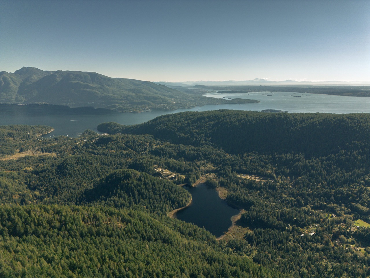
Mount Gardner and Bowen Island
Length: 15.4 km (starting from the ferry terminal. It will be a couple km’s shorter if you start from Killarney Lake)
Elevation Gain: 774 m
Difficulty Level: Hard
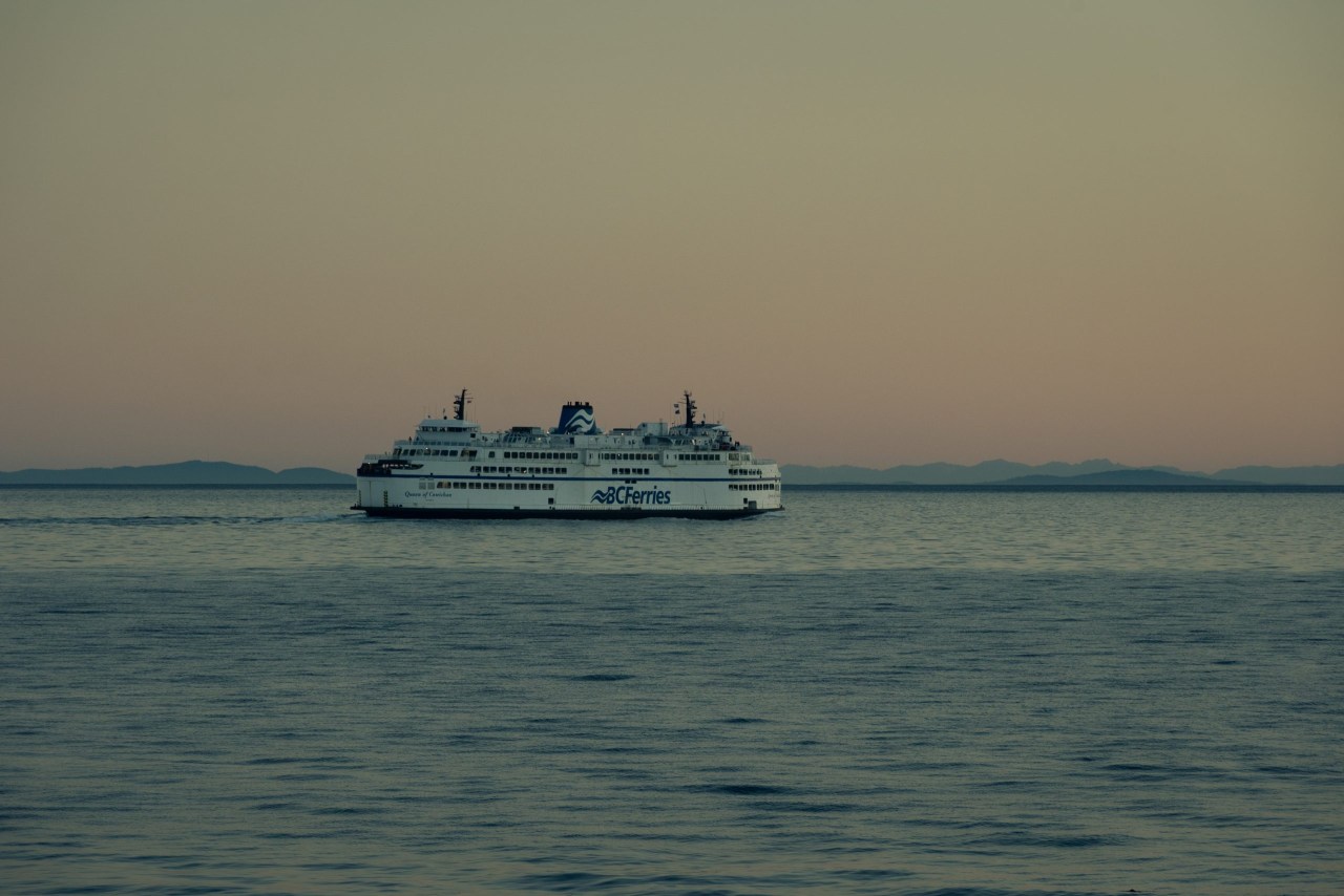
Mount Gardner is on Bowen Island, just a 20-minute ferry ride from the mainland. Bring an offline map because there are many side trails and loops around Mount Gardner, and cell service may not be available. There are no water sources along the trail either, so make sure you bring enough water.
There are some steep sections along the trail, but other than that, there are no technical sections or exposure. The final ascent to the North Summit (if you hike the trail counterclockwise) involves a steep climb and a section with a rope to help you get up. However, there’s no exposure here either.
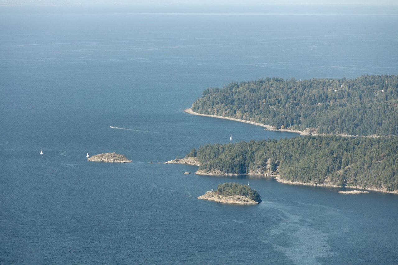
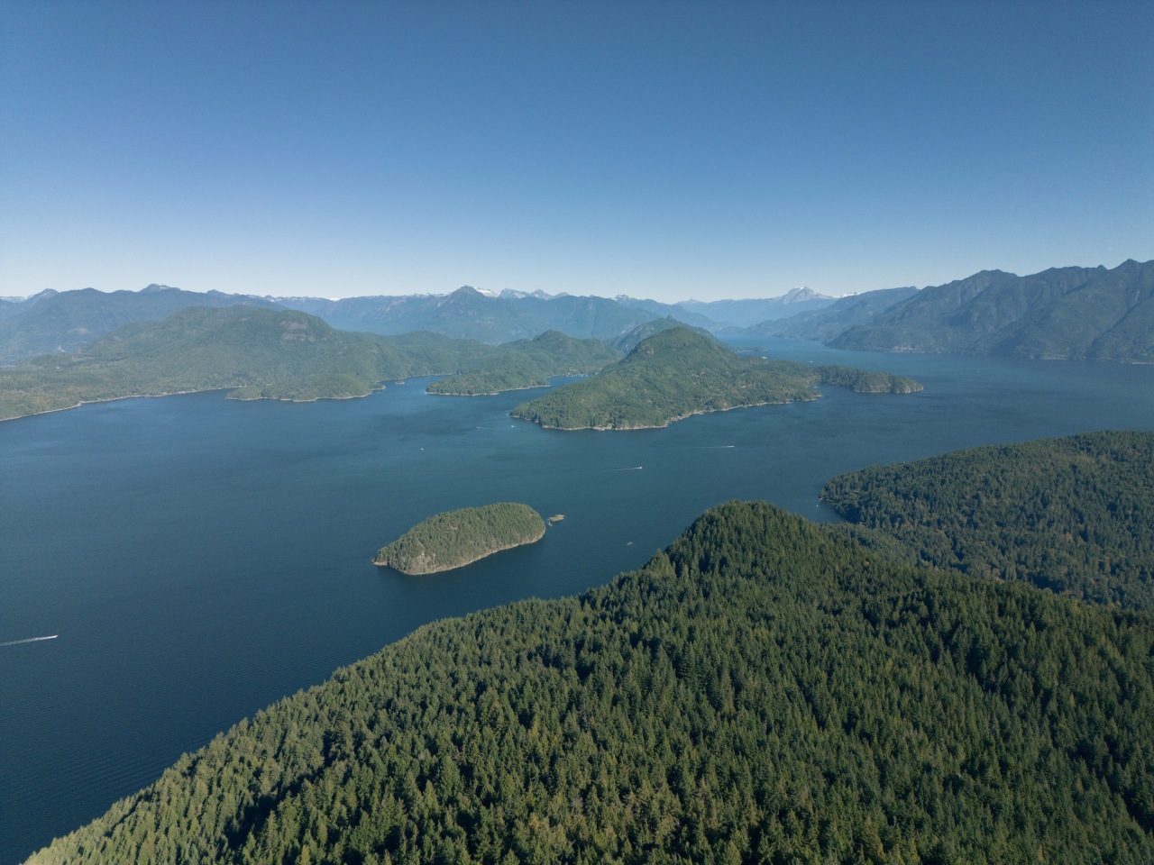
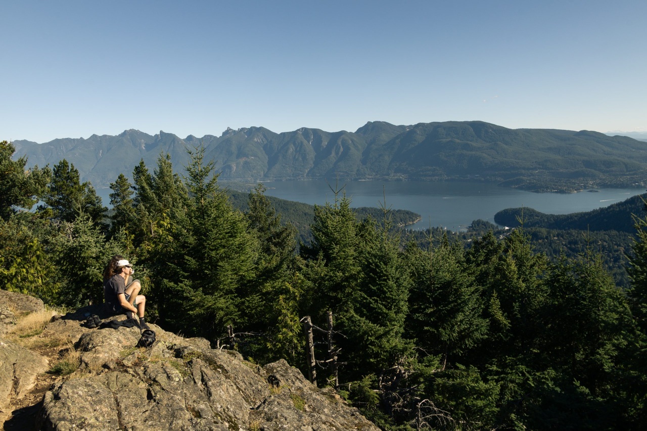
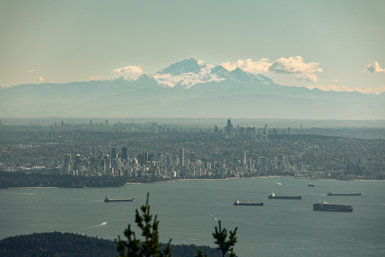
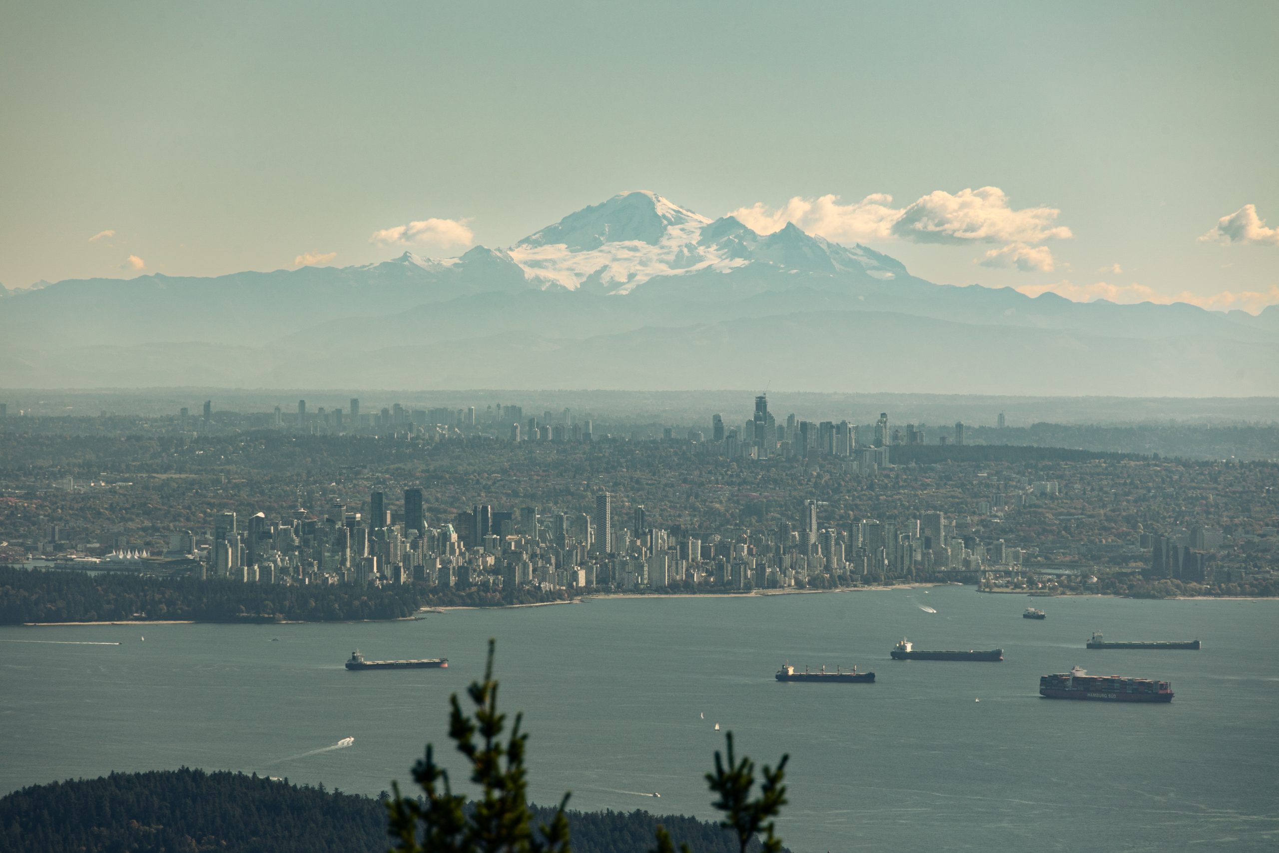
The views from the North Summit are good. On a clear day, you can see downtown Vancouver and even Mount Baker in the distance.
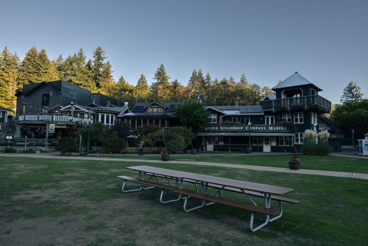
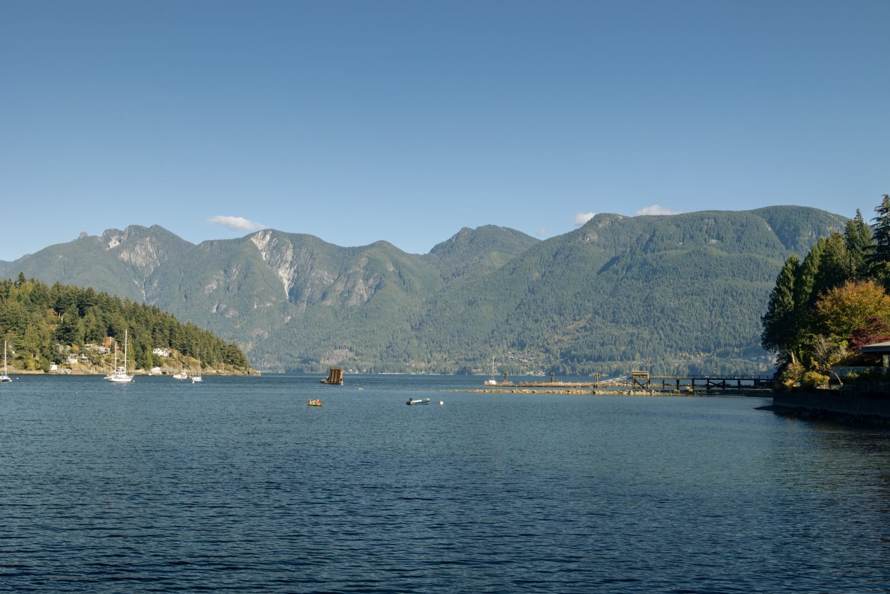
Once you’re done with the hike, make sure you spend some time exploring the island, especially around the ferry terminal. I highly recommend Dorman Point. It’s a short 3 km round-trip hike with some steep sections, but the trail is wide and well maintained. You’ll be rewarded with open views of Downtown Vancouver across the water.
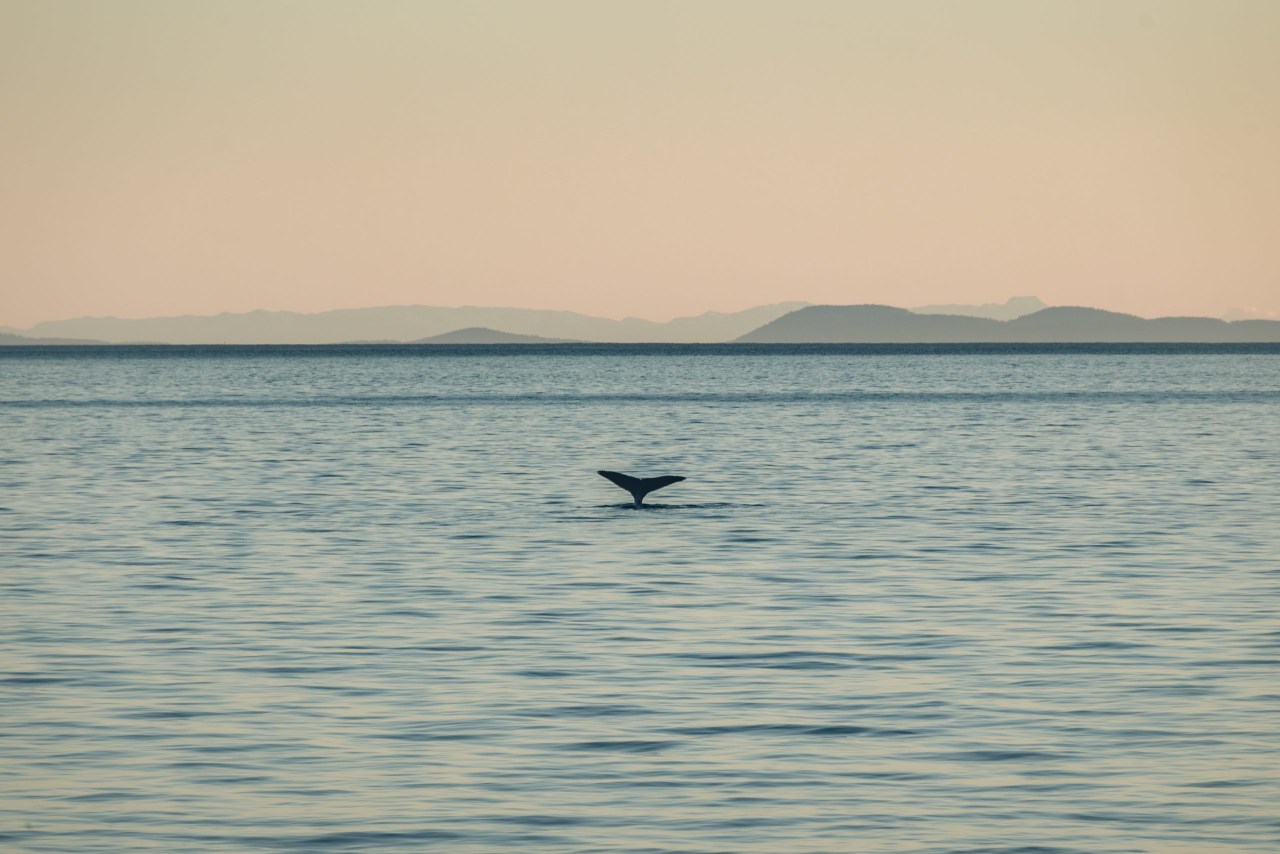
And if you’re lucky (like I was), you might even spot some whales!